|
|
|
Archaeological Studies Archival Research Digital Cartography Cemetery Research National Register Nominations Cultural Landscape Research Specialist Services |
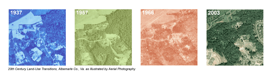
DIGITAL CARTOGRAPHY GPS/GIS Analysis · Impact Assessment · Data Presentation For many projects Rivanna Archaeology employs GPS mapping and GIS analysis. Digital cartography has a variety of practical and analytical uses beneficial to the collection, interpretation, and presentation of cultural data. Integration of digital data with design plans contributes to the accurate assessment of potential development impacts. Our technical expertise includes:
|
| Telephone: (434) 293-3108 Email: info@rivarch.com |